17. Mai 2012 - N466M Zürich-Colmar-Sion-Zürich
Leg 3: Sion-Zürich
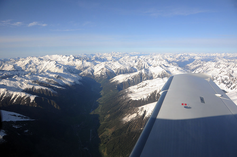
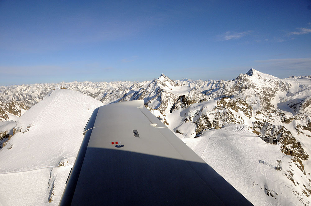
Oberwallis.
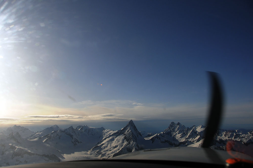
Finsteraarhorn.
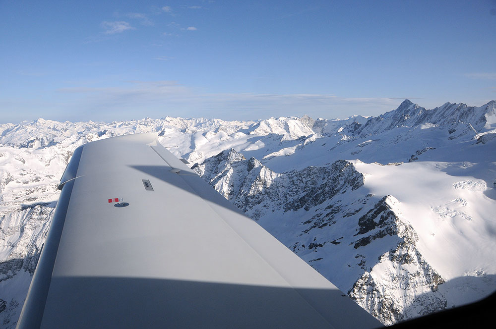
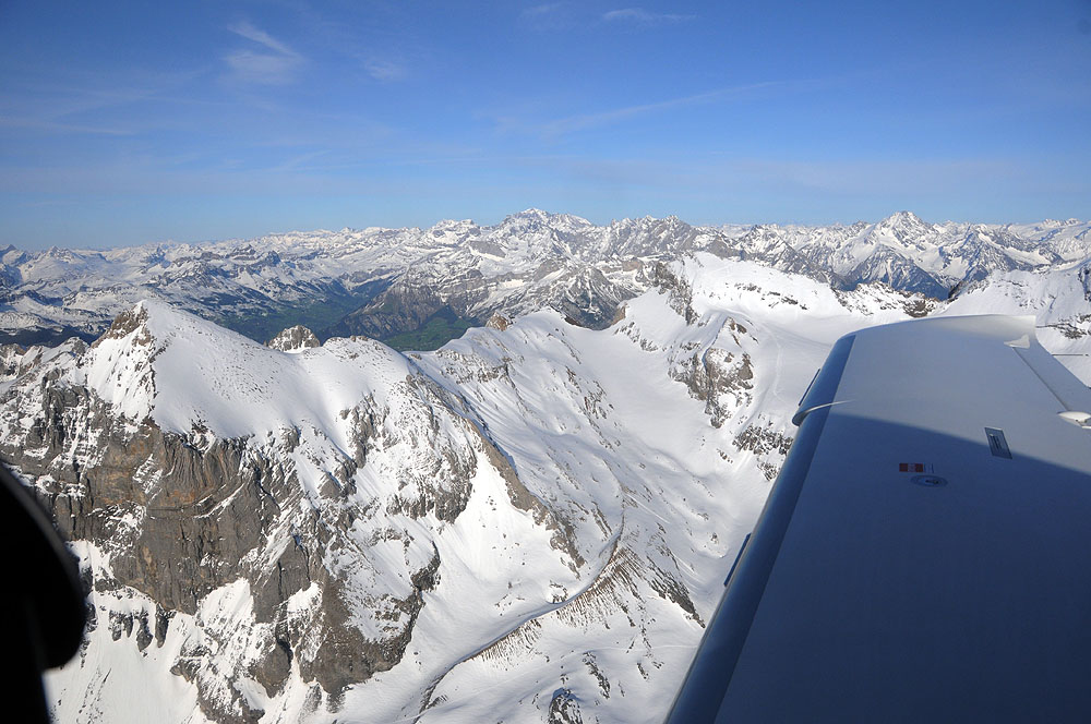
Urner Alpen.
Titlis.
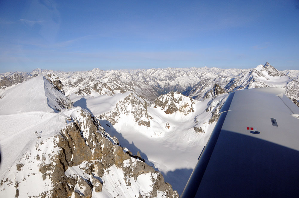
Titlis.
Urner Alpen.
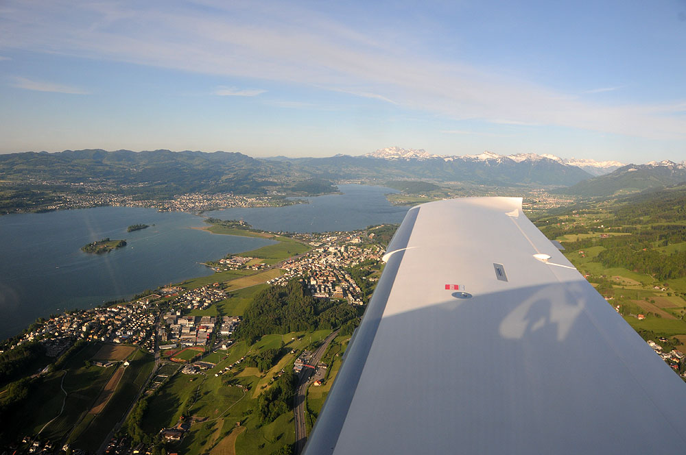
Zürichsee, Seedamm, Obersee.
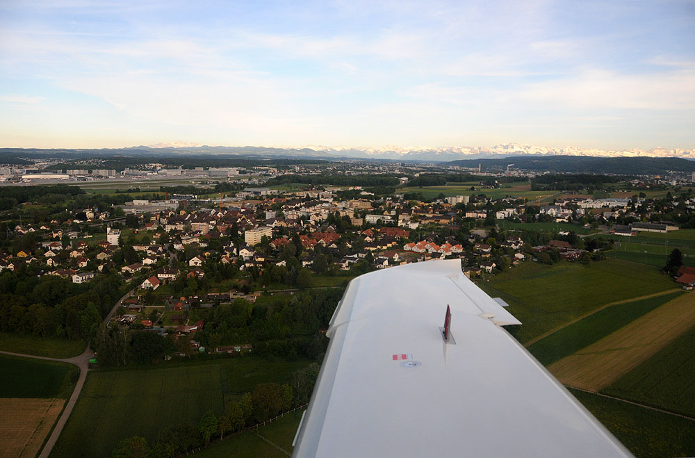
LSZH Zürich Kloten, right hand base Rwy 10.
Flugweg in Google Maps oder Google Earth ansehen. Zeiten justieren: GPS + 0:00:23 = Foto.
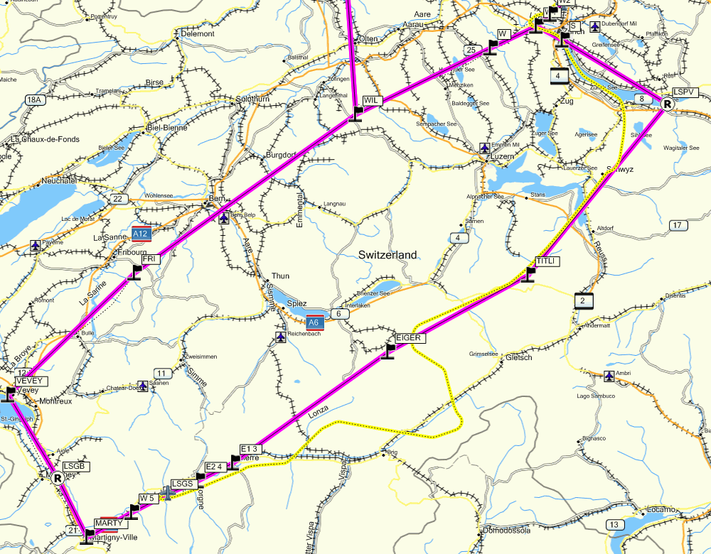
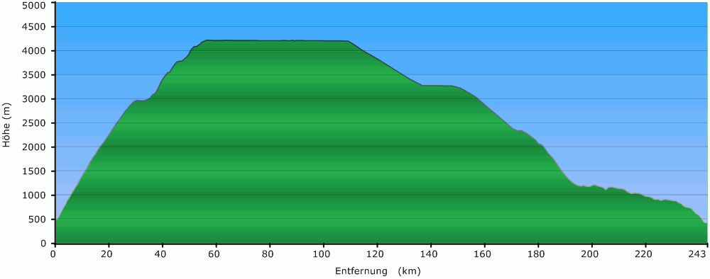
Sion-Zürich. Dargestellt mit MapSource (Karte & Profil).
Leg 3, VFR (gelb): Distanz 243 km, Geschwindigkeit max. 436 km/h, Schnitt 319 km/h, Flugzeit 46 Minuten.
Fotografiert mit Nikon D300, AF-S DX VR Zoom Nikkor 18-200mm VR. Nachbearbeitung mit Adobe Photoshop CS5.
© Adrian Kienzi, CH-8345 Adetswil,
http://www.kienzi.ch
mailto:Adrian.Kienzi@kienzi.ch
Weitere Verwendung der Fotos (ohne Fotos von Personen) im
Aviatik-Umfeld ist unter Quellenangabe ausdrücklich erlaubt.
Eine weitergehende Verwendung der Fotos ist nicht erlaubt.